Size
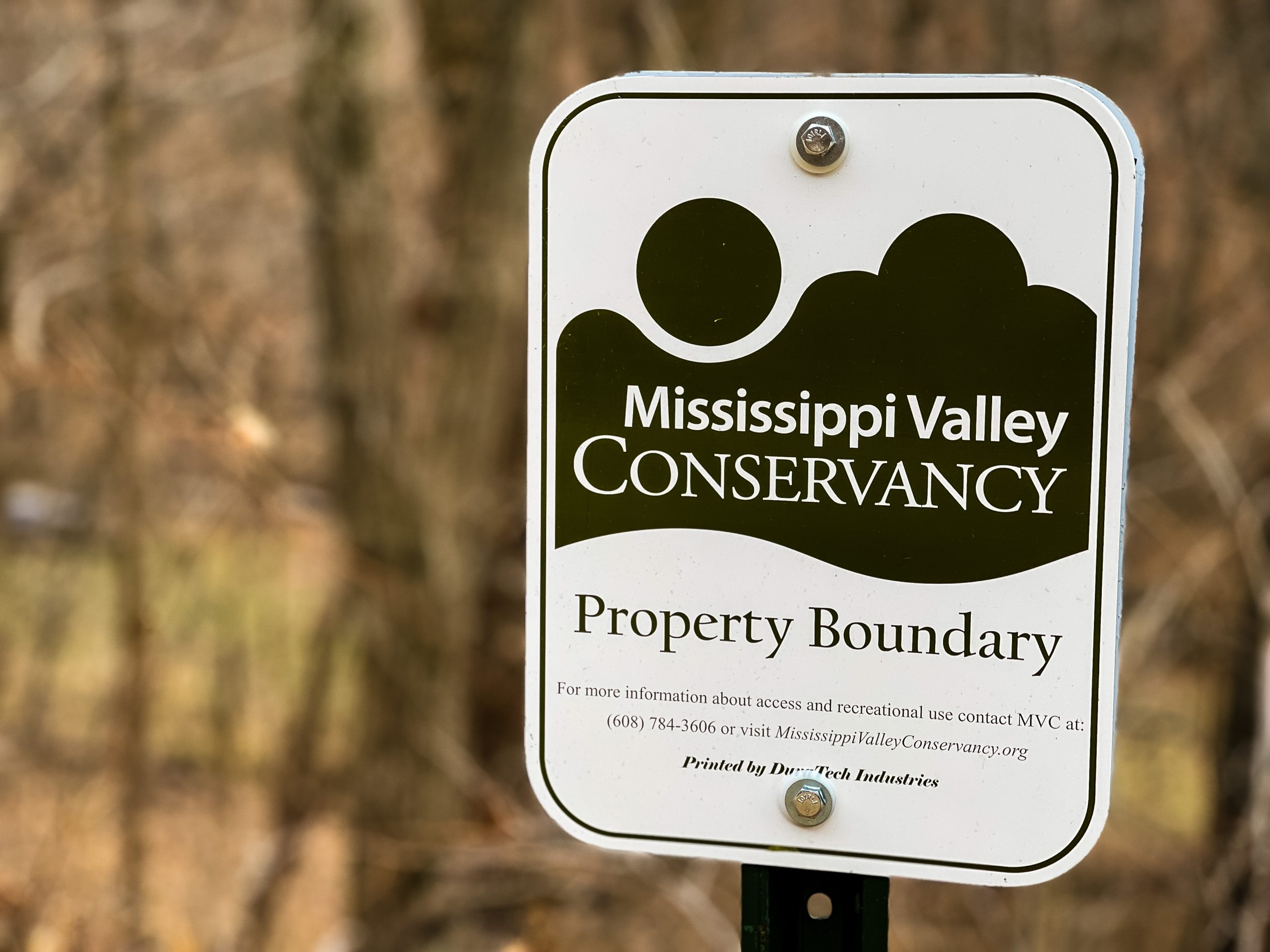
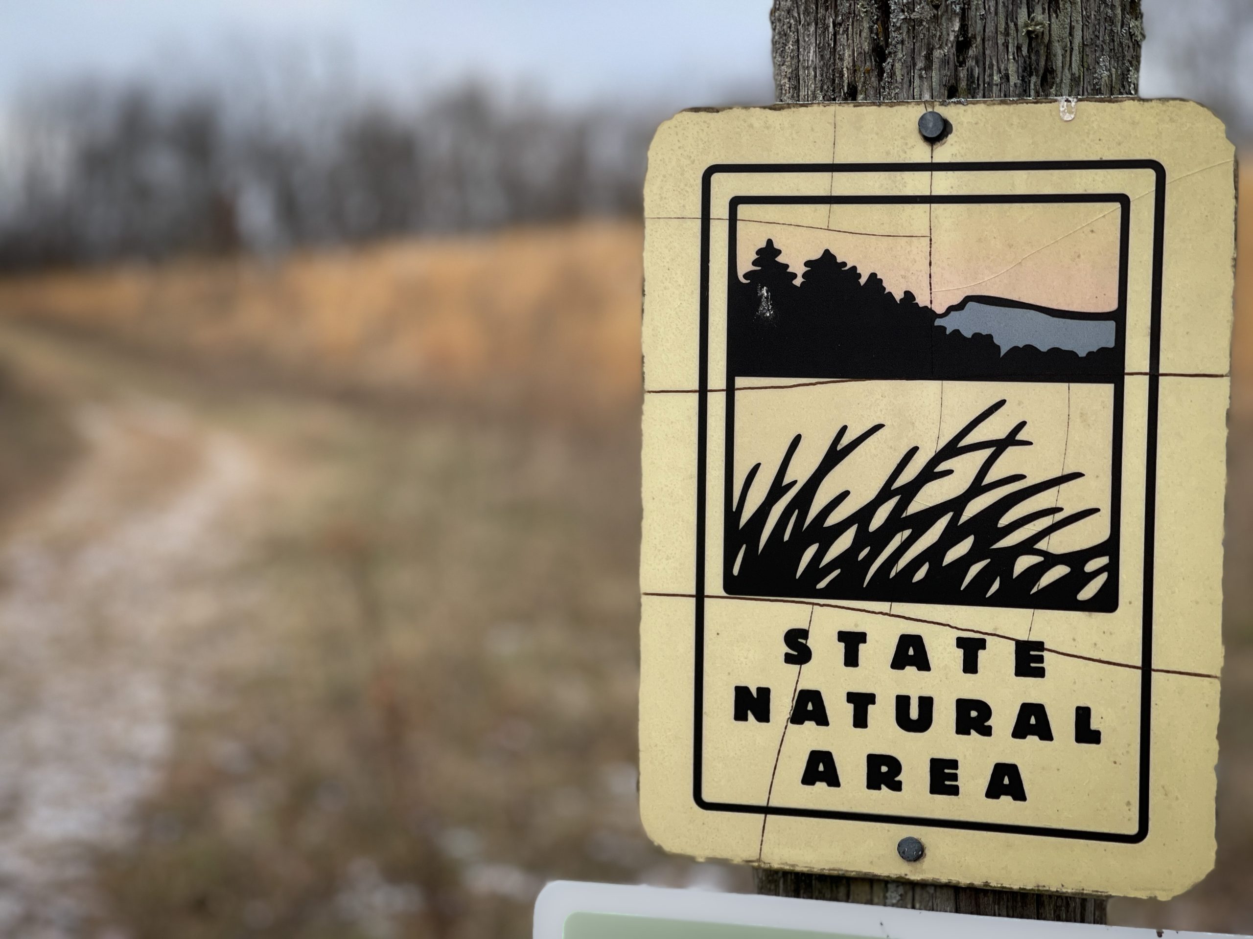
Sugar Creek Bluff State Natural Area, a 440 -acre bluffland preserve, is in Crawford County near the Mississippi River.
Activities Allowed
- Hiking
- Showshoeing
- Cross-country skiing
- Wildlife observation
- Hunting
- Trapping
- Fishing
- Scientific research (permit required)
- Outdoor education
- Wild edibles
Activities NOT Allowed
- Camping and campfires
- Collecting of animals (other than legally harvested species), non-edible fungi, rocks, minerals, fossils, archaeological artifacts, soil, downed wood, or any other natural material, alive or dead.
Collecting for scientific research requires a permit issued by the DNR - Collecting of plants including seeds, roots or other non-edible parts of herbaceous plants such as wildflowers or grasses
- Drones: Flying-related activities, including the use of drones, hang-gliders and model airplanes, are prohibited.
Permission may be issued by the SNA Program for the use of drones for educational or research purposes. - Geocaching
- Horseback riding
- Dog walking
- Rock climbing
- Vehicles, including bicycles, ATVs, aircraft, and snowmobiles except on trails and roadways designated for their use
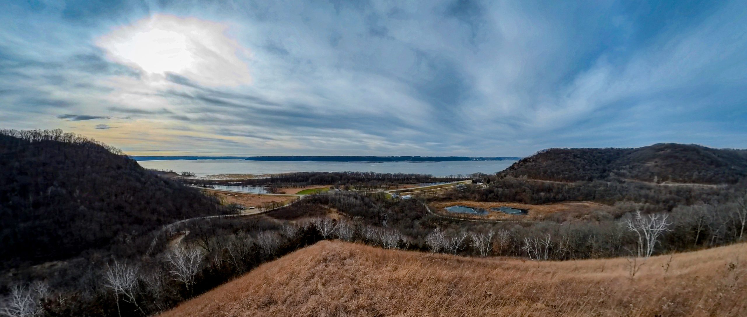
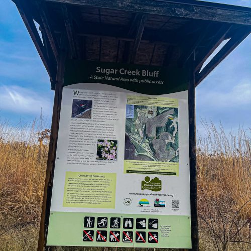
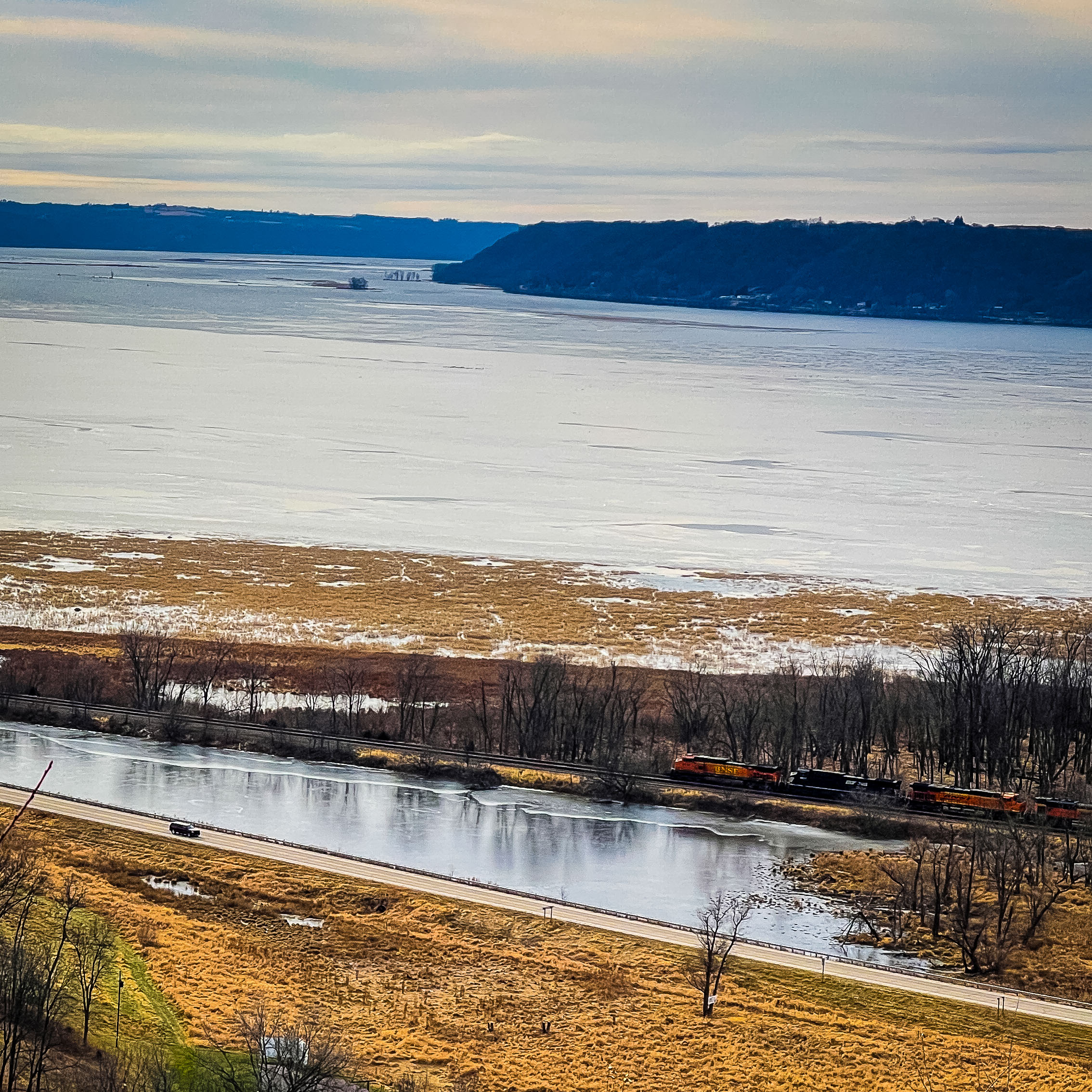
Sugar Creek Bluff features dry goat prairies on west and south-facing slopes, dry-mesic forest, and Sugar Creek, a Class 2 trout stream. There is a parking area off of North Buck Creek Road, just South of Ferryville, WI on Highway 35 that leads to a short 0.75 mile hike and an overlook of the Mississippi River.
When taking the trail, keep to the right at the only fork. The left-hand fork enters private property, which is not a part of the land here.
Once you reach the bluff, the trail drops quickly down the ridge, so be careful of your footing, since you’ll likely be staring at the wonderful view of the Mississippi River and portions of Ferryville.